 |
|
The Old Glen Innes/Grafton Road An Encounter with History and Engineering Feats November 2017 The Old Glenn Innes/Grafton Road dates from 1867. It provided the only access across the northern NSW ranges separating the tablelands to the west and the ocean to the east. It remained the only access across the ranges until the Gwydir Highway opened in the early 1960s providing a faster and easier route across the Gibraltar Range.
Obviously, you can ride the old road in either direction. As consistently happens with country roads, it’s called either the Old Grafton Road or the Old Glen Innes Road, depending on which way you’re heading. Both ends of the road come off the Gwydir Highway. The eastern end is 35 km from Glen Innes; the western end is 10 km from Grafton. The old road itself (from its intersections with the Gwydir Highway) is 130 km of which about 85 km are gravel. Obviously from town to town, it’ll be 175 km. A round trip, starting and finishing in the same town and taking in the Gwydir Highway one way will be 336 km. Map of the Old Road Here is an interactive map of the Old Glenn Innes/Grafton Road. You can click in the middle of the four little right angles at top right of map to get the larger map. Then you can scroll down to the bottom of the map legend column on the left to change between normal and satellite mode. The map also has some photos placed where they were taken (thanks to a GPS in the camera!)
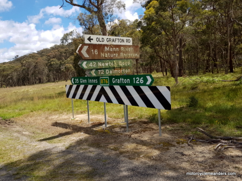
I was well looked after by tourism officer, Fred Blair, from the Glen Innes Severn Council. Fred’s been around tourism for several years in northern NSW areas. He grew up in nearby Taylors Arm (famed for the Pub with No Beer) where he still has many extended family members. He took me through a couple of maps highlighting the old road; and provided up-to-date information on road conditions and a few tips about places of interest to note. I think we each added to the other’s enthusiasm for the venture I was about to undertake. In fact, so much so that I made a point of returning to Glen Innes several days later to report on the ride and share the experience with him. He was both appreciative and delighted. Mann River Coming from Glen Innes, as noted above, it’s a 35 km ride to the well-posted turn-off to the right that takes you onto the “Old Grafton Road.” Here begins my old road encounter.
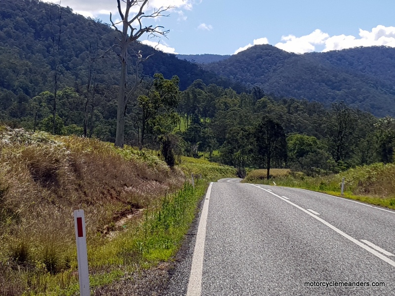
Sealing the road, of course, doesn’t make it any less steep or the turns any less sharp. The road is still quite narrow and winds its way relentlessly through forested hillsides for some 15 km until it flattens out in the valley below. I’d swear a number of the many switchbacks turned more than 180˚ as the exits seemed to drop precipitately and wind deeper into the hillside than the entrances. As a sealed road, it provided a very different experience to the careful, creeping ride I was expecting, but a very pleasant and exhilarating one being the only vehicle on a made-for-bikes road. Despite the remoteness – even loneliness – there never seems to be a road so remote that doesn’t have signs warning of the school bus! And sure enough there they were; along with isolated mail boxes marking barely discernible tracks leading into the densely forested bush. I was told by Fred on my second visit to the tourism information office that there was a time of a thriving hippie commune and there are still alternative lifestyle seekers enjoying the unique surrounds. About two-thirds of the way down, the road crosses Diehard Creek before finally reaching the Mann River and delivering you onto the valley floor. There is a picnic and camping ground on the river at this point but temporarily closed for what seemed to be a major make-over.
Newton Boyd
The valley widens considerably as the river is joined by one if its tributaries, the Henry River. Although the now combined rivers turn north and the old road heads south, here begins a long, picturesque 13 km run through mostly flat-valley but at times gently undulating farming country before the road meets up with the Boyd River. Just after crossing the Henry River, was the once mining town of Newton Boyd. It was one of a few such towns along the road that flourished for a time – not a very long time from reports – during a short-lived gold rush. All that’s left of Newton Boyd is a First World War memorial. The memorial records thirty local men who signed up and went to fight. One panel – "in memory of those who fell" – lists eight of the thirty names. (The Newton Boyd Roll of Honour, housed in the Beardies Museum in Glen Innes, lists seven. The eighth on the memorial returned early very ill and died shortly after but not from war-related injuries.)
On Thursday, his Excellency, the Governor of New South Wales, Sir Dudley de Chair, formally opened the Newton Boyd Memorial Hall and unveiled the memorial column erected by Mr. N. A. MacDonald, of Broadmeadows Station, in honour of the district soldiers. The occasion was marked by a sports meeting and a dance in the hall at night. For a mere handful of people, Newton Boyd has set a pace that much larger neighbouring centres will find it very difficult to follow. The hall was close by the memorial at Newton Boyd but has long since disappeared. In addition to spending a little time contemplating the significance of the memorial for what must have been a relatively small community, it was fascinating to imagine the vice regal entourage making its way down the Mann River descent and along the Old Grafton Road to Newton Boyd; and back again! I wondered whether the governor went to the dance in the hall that night. Competing with the memorial today is Hibbo’s Hunny Hutt (at least they got the apostrophe right). It gets more formally listed as Hibbo’s Honey and Beeswax Products. It’s been operating a while because there are several mentions of it on Internet travel blogs. It operates on an honesty basis: drop your money in the tin and take what you paid for. Dalmorton Bluff
This section is a mix of open river flats, some more expansive farming country and, to a large degree, a narrow ledge-road that sits tightly against the escarpment with an unhindered (except for undergrowth) drop into the Boyd River.
Between river flats and farms, the road often diverts into wooded country to map out a path around whatever natural obstacles it encounters. The big attraction of this section is the constant contrast of terrain, road and riding conditions, making the whole experience a memorable one.
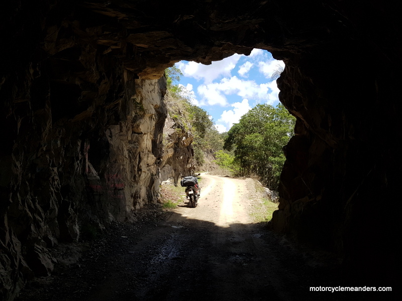
The now historic tunnel – some 20 m long with a clearance of 3.3 m to accommodate the horses and carts of the logging, mining and livestock industries of the time – stands as one of the great construction feats of the Old Glenn Innes/Grafton Road.
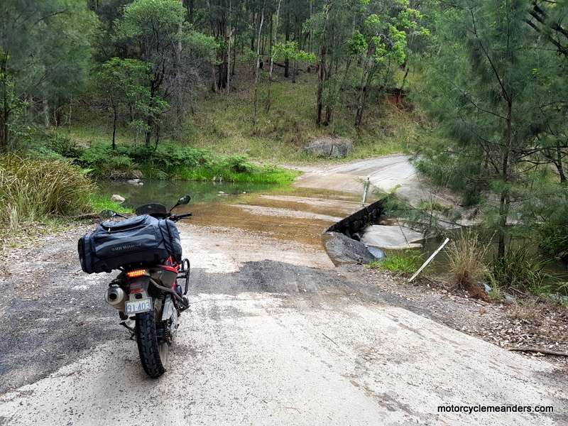
I had been cautioned by a random traveller over a dinner somewhere before Glen Innes that the road through the tunnel had been dug out by people with high vehicles and that a deep mud pool was a permanent feature of the tunnel. Great! I raised this with Fred at the tourism information office. He thought that was an overstatement but said the tunnel did often have a lingering puddle after rain. And it did. I figured the odds were in favour of it being easily passable; and I wasn’t about to walk through it. I stayed close to the side and didn’t flinch at a slight wobble. The approach to the Dalmorton Bluff – as, indeed, the road beyond the old town of Dalmorton – is as much an engineering feat as the tunnel. For so many kilometres the road had somehow been carved out of the steep escarpment that runs alongside the river. While riding the road was fun on a motorbike, it must have been a nightmare in a stage coach. In thinking of the construction of these engineering feats, one shouldn’t overlook the comparably onerous and impressive construction of the wild (as it would have been then) descent into the Mann River valley at the start of the Old Grafton Road.
S
Well, that was an experience. First, a steep, deeply eroded descent to the river crossing, followed by a stupidly (on my part) missed turn-off to the nearby camp ground, and then a five-kilometre rough, climbing and tightly turning road to wherever before I came to my senses and turned back. I never got to experience the dreaming of the campground. Buccarumbi
Buccarumbi is only a locality today but presumably was something more substantive in the heyday of the old road. Its notable feature today is its bridge across the Nymboida River pretty much at where the Boyd River flows into it. . In the summer months, it’s become a Mecca for campers and canoeists. There’re still over 40 km of good riding before the Old Road crosses the Orara River and later meets the Gwydir Highway, but about 30 km of that are sealed. Epilogue
I was sufficiently ahead of my planned schedule that I turned left when I reached the Gwydir Highway and rode to the top of the Gibraltar Range before returning to Grafton for the night. That is undoubtedly a great ride worthy of being promoted to the top 100 rides. The “perfect storm” would be to do a round trip from and back to Glen Innes (or ditto with Grafton) taking in both the old and new roads. |
 Interestingly, as the map below illustrates, the old route follows a southern arc whereas the new road arcs to the north: just two options of finding a traversable way across essentially the same set of ranges.
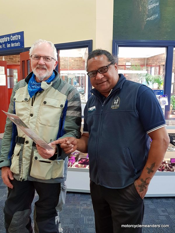 Having got baffled in remote backblocks between Scone and Nundle following the ominously-named Isis River and faced with impassable roads and wrong turns (not helped by sign posts naming roads differently to what they are on maps!) – with the only consolation being some affection from a lone horse at the end of a fast diminishing track – I had to start my encounter with the Old Glen Innes/Grafton Road from Uralla instead of Glen Innes, as I had planned. Not really an issue: just added an early morning 120 km ride before a breakfast stop in Glen Innes. Fortuitously, the local tourism information office was next to my breakfast stop, so I popped in for some last-minute advice.
 Not being a particularly adept adventure rider, it was this beginning section of the road that had me most concerned. Several sources had harrowing descriptions of the steep, narrow, switchback-laden, loosely gravelled track descending perilously into the Mann River valley. I had spent a lot of mental energy psyching myself up for the task; only to discover from Fred at the tourism information office that the descent to the Mann River had been sealed earlier in the year. Paradoxically, I felt both relief and disappointment.
 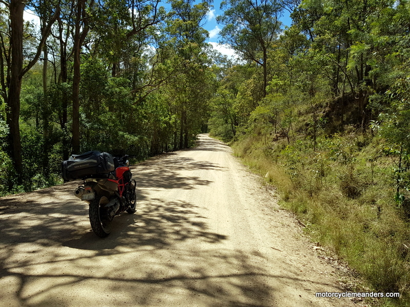 The road stays with the Mann River for about 1.5 km before crossing it and heading back into some hill country – but nothing as high or steep as the descent to Mann River. To provide some perspective, the descent to Mann River drops some 600 m from 1000 m to 400 m above sea level; whereas the climb back into hill country is no more than 100 m. The road at this stage hovers at times around 500 m but mostly tracks alongside Leather Jacket Creek below that level until the creek flows into the Mann River, letting the road re-join the river and follow it further upstream. The Mann River by then is running at about 350 m.
 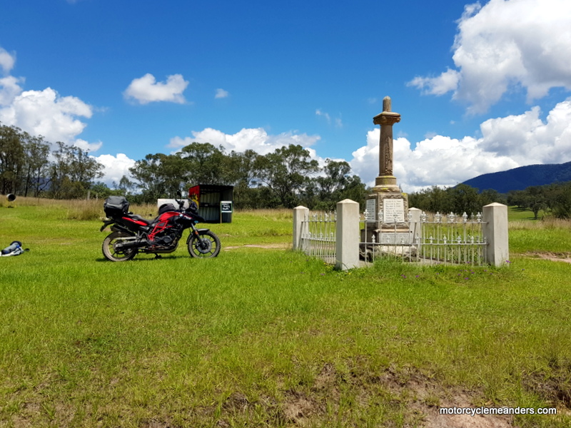 The memorial was privately funded by and erected on the property of Mr N A MacDonald. It was reported in the Glen Innes Examiner of 22 September 1924:
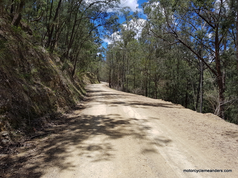 Soon after Newton Boyd, the road picks up the Boyd River and stays close to it for some 40 km to its confluence with the Nymboida River at Buccarumbi.
 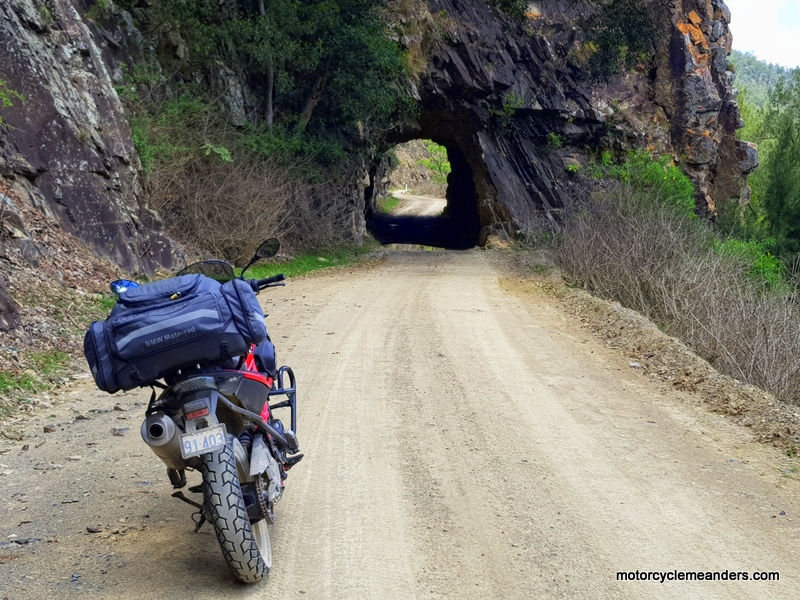 Some 15 km from where the road joins the Boyd River its builders were confronted by the biggest obstacle of all: a granite bluff of rock that juts onto the river’s edge to an extent that defied any way around it. So they went through it. They called it Dalmorton Bluff.
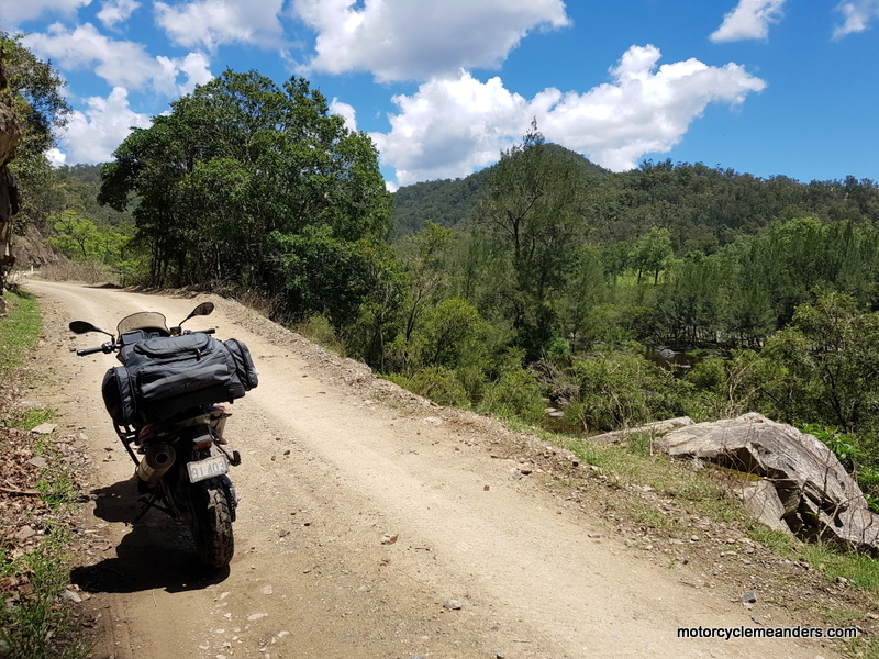 oon after the Dalmorton Bluff Tunnel, you ride into Dalmorton township. But you have to be imaginative. Certainly, there’s more there than there was at Newton Boyd, but there’s no present life; only remnants of a past life: a few derelict buildings representing the police lock-up, a couple of former shops and ghosts of a house or two. I read on one site that Dalmorton was once a bustling hamlet of 5,000 people in the 1860s and 70s with some 13 pubs; and was a rowdy town frequented by bushrangers, pioneers and gold miners alike. I don’t really know. I’ve also seen references linking the notorious bushranger Captain Thunderbolt with Dalmorton. But all through New England, there are “tourism attractions” linked to Thunderbolt. I couldn’t help wondering why we martyrise bushrangers!
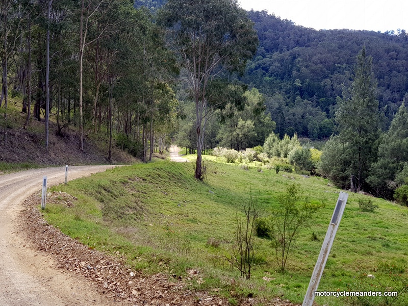 One of Fred’s recommendations was to take a side road from Dalmorton town, across the Boyd River, and onto the Dalmorton Camp Ground. It was a place where you can watch sea eagles soar above their nests in the tall trees there, where large goannas are always on the lookout for new delicacies and the occasional pelican makes it way up the river.
 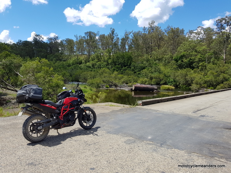 While the road was never bad, it even got better after Dalmorton. There were still lots of narrow cliff-hanging riding mixed with some open pastures, but all very easy and pleasant. Somewhere along this section are some historic graves that I had marked on the GPS but I didn’t find them. I might need to return!